
ATRIUM Summer School
From Maps to Data and Data to Maps: Exploring Spatial Histories
June 29 – July 2, 2026 – Athens, Greece
This summer school is designed for scholars and professionals interested in exploring digital humanities methods for mapping and spatial visualization. Mapping in the digital humanities provides new perspectives on sources, enables analysis in a spatial context, and offers visual representations of arguments and narratives. Participants will be introduced to key topics, including spatial data collection, geocoding, georeferencing, map annotation, data wrangling, and different types of maps, platforms, and hosting services.
A four-day summit of talks, activities and workshops
Summer school participants will work collaboratively to create a digital map of the Vrysaki neighborhood of Athens, which was demolished in the 1930s to expand the excavation of the Ancient Agora. This work will draw on a unique collection of historic photographs and maps from the 1930s, created by photographer M. Messinesi and held in Princeton’s Art and Archaeology Department’s Visual Resources Collection.
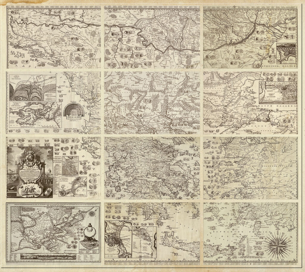
They will also engage in the collaborative map annotation of Rigas Velestinlis’ Charta of Greece, a late 18th-century map rich in spatial and cultural information, densely filled with place names, symbols, illustrations, and textual commentary. Using the ATRIUM Collaborative Map Annotation Workflow and demonstrator, participants will identify and describe places and cartographic features and link them to authoritative gazetteer records, transforming historical map images into structured, interoperable data.





Funded by the European Union under Grant Agreement n. 101132163. Views and opinions expressed are however those of the author(s) only and do not necessarily reflect those of the European Union. Neither the European Union nor the granting authority can be held responsible for them.